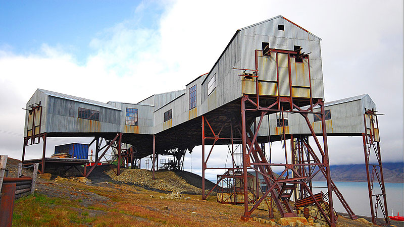
About Svalbard
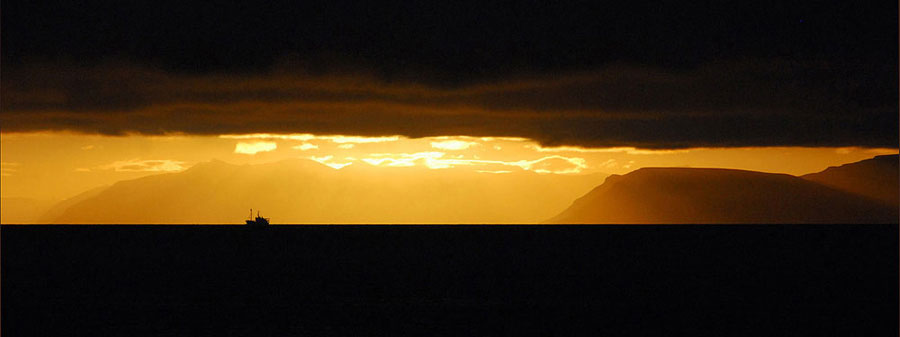
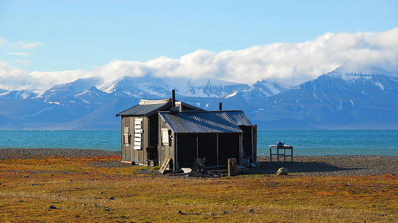
"Svalbard is a very special part of Norway. The archipelago is one of the northernmost land-areas in the world. Because it is off the beaten track, so that humans have hardly left their mark on it, most of this territory is still pristine, without roads or other signs of human intervention.
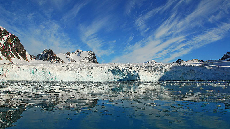
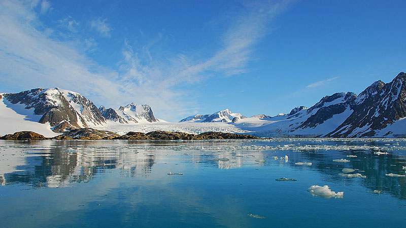
Svalbard is defined as a land area situated between 74 and 81 degrees north, between 10 and 35 degrees east. The archipelago consists of islands of various sizes, the largest of which are Spitzbergen, Nordaustlandet, Edgeøy, Barentsøy and Prins Karls Forland. The summit Newtontoppen, on the north-eastern part of Spitzbergen, towers 1713 metres above sea level and is the highest.
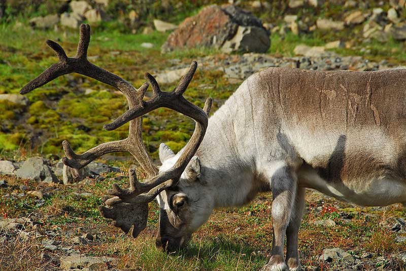
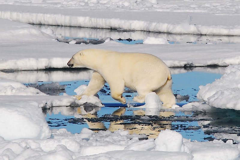
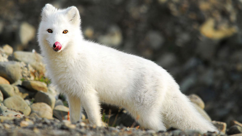
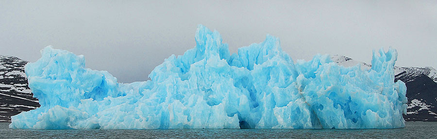
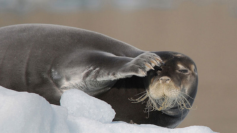
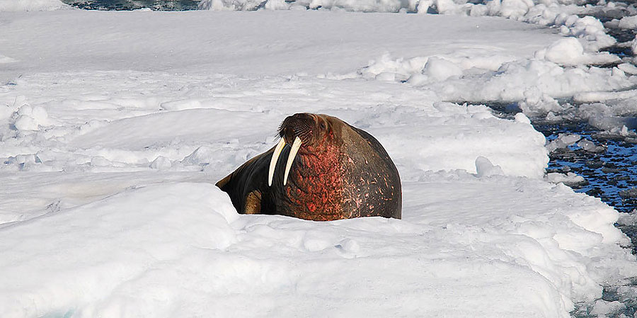
Svalbard has an area of about 61 000 square kilometres, more than half of which are covered by snow and ice. There are relatively few species of plants and animals, but species may have large populations. Not many humans have lived in Svalbard since Wilhelm Barents first came in 1596, but those who did have left traces, here and there, some of which are now monuments."
Quote from http://www.sysselmannen.no/
|